Presentation
- Name: The Issoire
- Common crossings: Brouzils, Copechagnière, Mormaison, Rocheservière, Saint-Denis-la-Chevasse, Saint-Philbert-de-Bouaine, Saint-Sulpice-le-Verdon
- Total length: 33.4 km
- Average gradient: 0.19 %
Slideshow
no picture at the moment
Topography
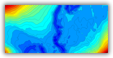
during the study
Prospecting
during the study
News
nothing to report at this time
Agenda
no events scheduled
Map
Records
You must be a member to view records